
This part of Western North Carolina is renowned for its natural beauty, cool temperatures, cascading waterfalls and friendly people.
Highlands
Highlands, North Carolina is located on the southernmost escarpment of the Blue Ridge Mountains at an average elevation of 4118 feet above sea level. According to the United States Census Bureau, the community has a total area of 6.2 square miles (16 km2), of which 6.1 square miles (16 km2) is land and 0.1 square miles (0.26 km2), or 1.94%, is water.
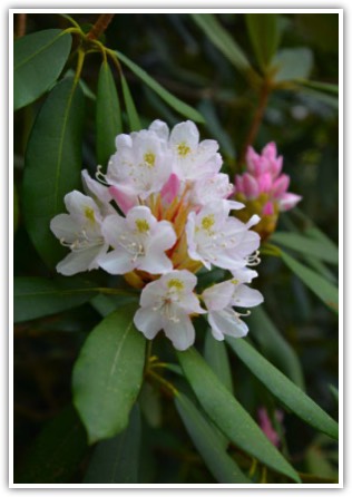
The official average elevation within town limits is 4,118 feet (1,255 m), making it one of the highest incorporated municipalities east of the Mississippi. The annual rainfall approaches 90 inches (2,300 mm) due to the orographic lifting effect of storms coming from the lower elevations. This rainfall and, counterintuitively, the abundant sunshine, create a lush and verdant micro climate which delights botanists.
Highlands is located at 35°3′15″N 83°12′8″W (35.054129, -83.202351)
Cashiers
Cashiers a census-designated place and unincorporated village located in southern Jackson County, North Carolina, is situated at 3,484 feet above sea level. As of the 2010 census, the community had a total population of 157. Cashiers is pronounced locally as if it were spelled "cashers", and is one of several communities in the area popular with tourists and owners of vacation homes.
The town is served by U.S. 64 to Highlands (west) and Rosman (east), and N.C. 107 to Sylva (north) and Walhalla (south, via S.C. 107). The village is centered around the crossroads of the two. According to the United States Census Bureau, the community has a total area of 1.1 square miles (2.8 km2), all of it land.
Cashiers is located at 35°6′43″N 83°5′58″W (35.111978, -83.099488).
Glenville
Prior to incorporation in 1891, Glenville was named Hamburgh and later shortened to Hamburg. Originally used as a fort in case of attack from the native Cherokee people, settlement began at least as early as 1827. At the time of incorporation, it was the largest town in Jackson County, a surprising fact considering it was so small. The town had a private high school, the first in Jackson County, formed in 1886. It became a public institution in 1891. Blue Ridge School opened in 1975, consolidating Cashiers Elementary and Glenville School.
The town was destroyed in 1941 by Nantahala Power and Light after it built a hydroelectric dam, on the Tuckasegee River, forming Lake Glenville . The area is still called Glenville however, and has United States Postal Service ZIP Code 28736, assigned mostly to the many vacation homes now built around the lake. The area is now a popular tourist and second home destination, and the lake has many multi-million dollar homes on the surrounding shore.
Glenville is located at 35°10'24"N, 83°7'45"W (35.1734296, -83.129311).
Highlands, Cashiers and Glenville are surrounded by the Nantahala National Forest, traversed by the Cullasaja and Tuckaseegee watersheds and sprinkled with lakes: Lake Ravenel, Lake Sequoyah, Mirror Lake in Highlands, Cashiers Lake in Cashiers and Lake Glenville (also known as Thorpe Lake) in Glenville.
An easy day’s drive from all points in the southeast, the elevations of Highlands and Cashiers assure great temperatures and cool mountain breezes.
